Burnt Ridge
*Route has ambiguous public/private roadways. Ride at your own risk.
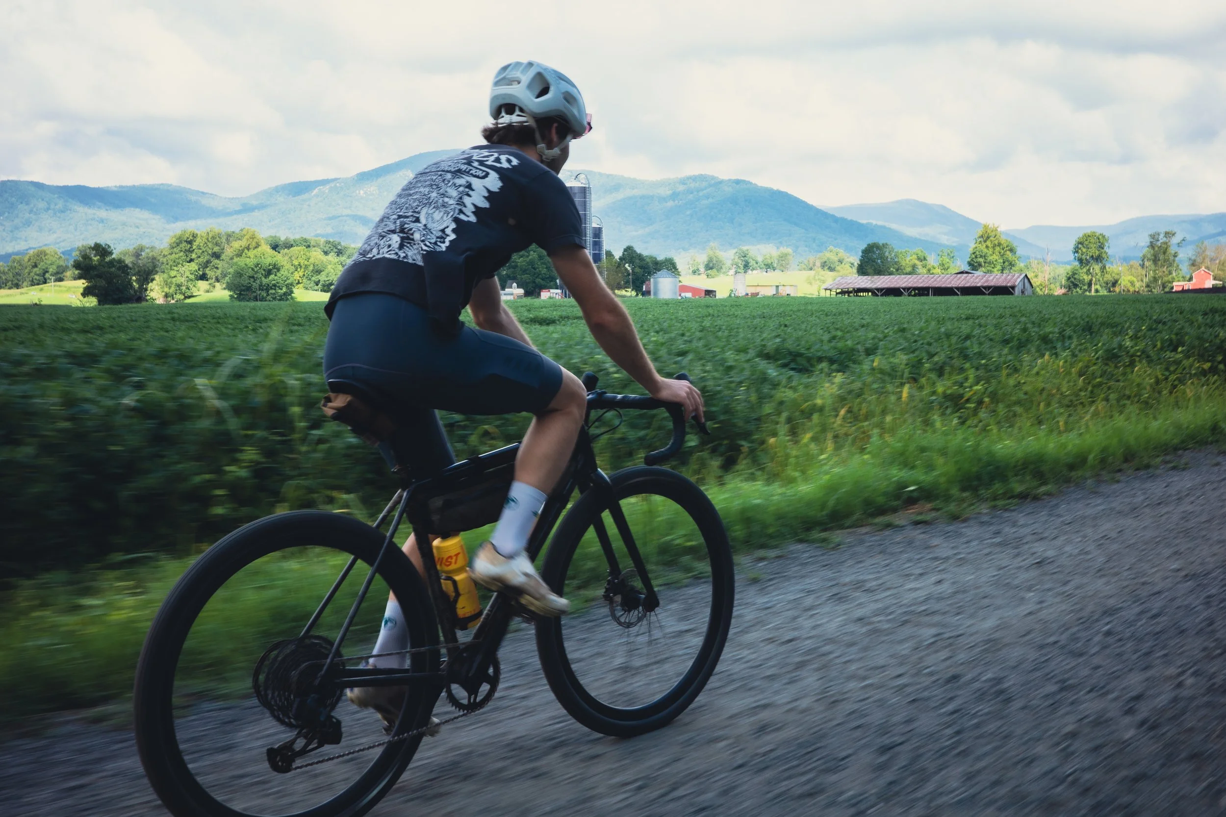
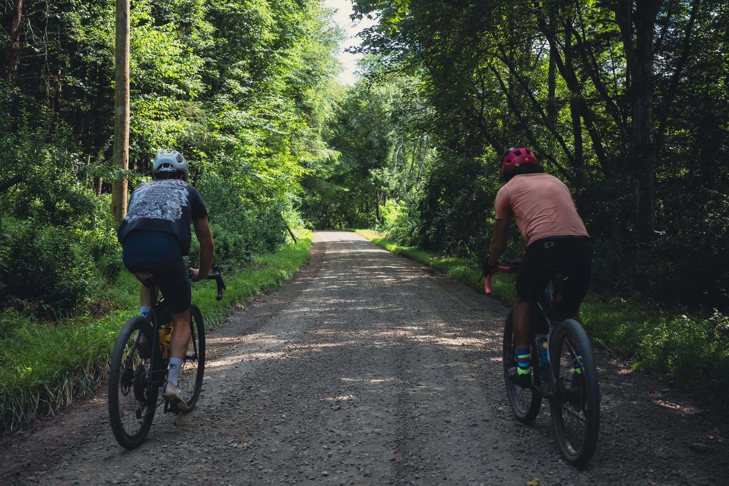
Would you look at that? Another Bluemont adventure with some ambiguous trespassing involved. Big disclaimer up front here. This route is incredibly fun, varied and well-stocked with provisions along the way. But, there are a couple sections of questionable public roads. I firmly believe the roads to be public but the land-owners seem to be confused. I’ve ridden through every time with just an oblivious wave and “hello” and I’d recommend you do the same. If you don’t feel comfortable, I suggest you take the main roadway around.
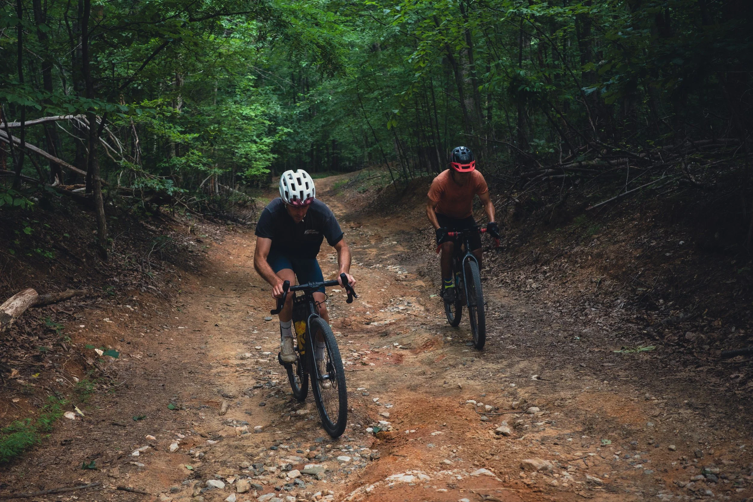
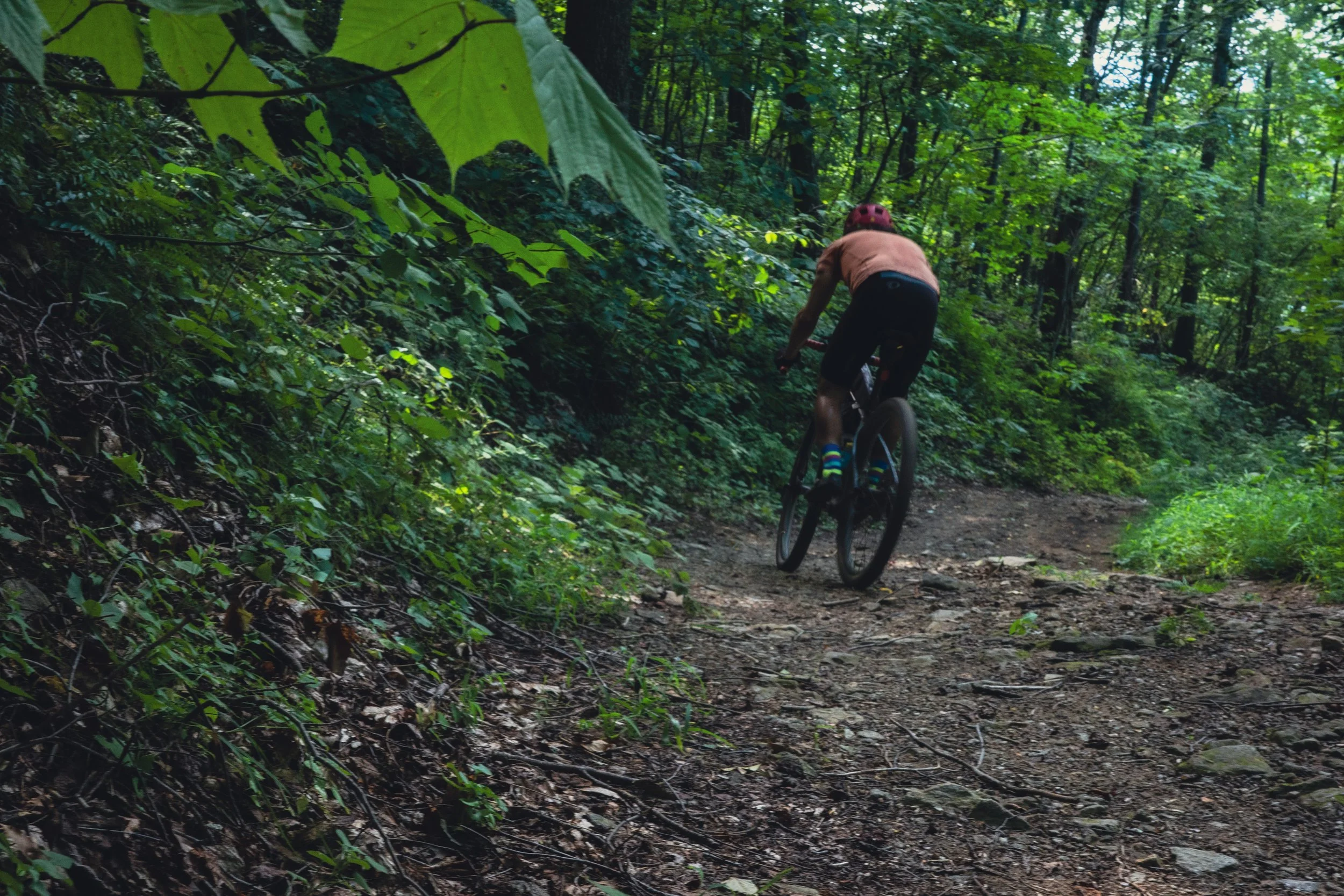
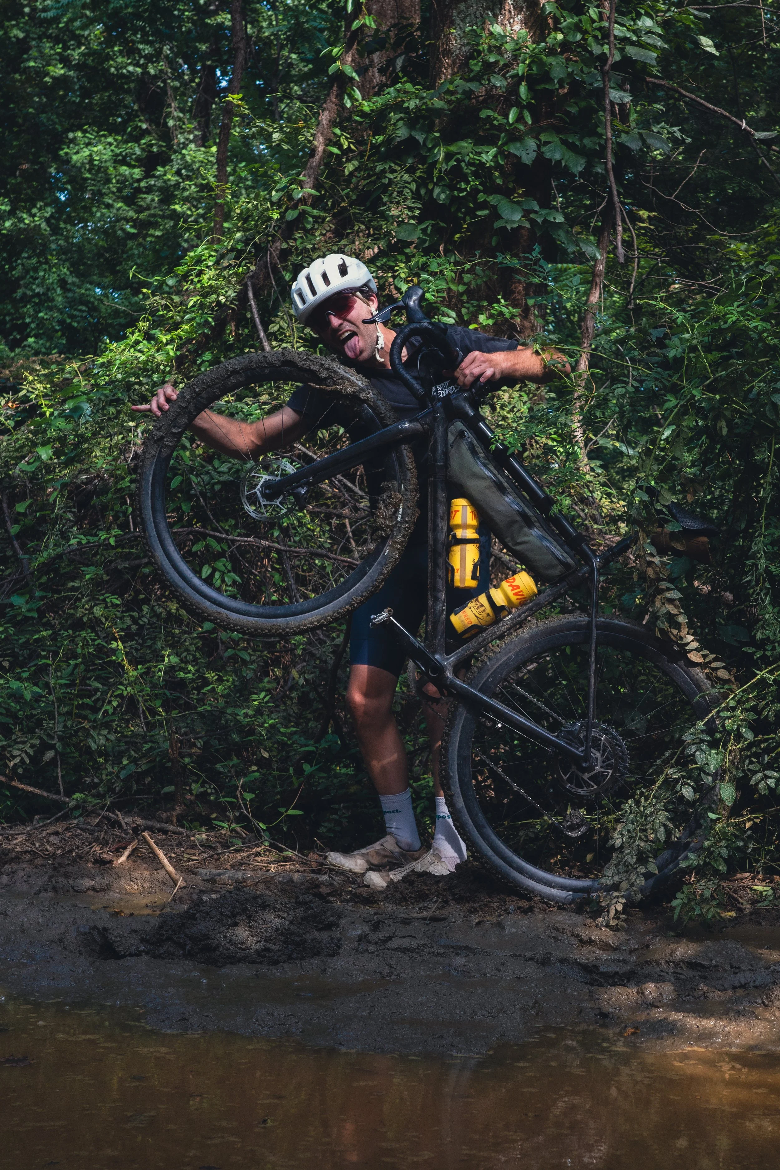
The climb and descent at the end, aka Burnt Ridge, is brutal. 2,000ft of chunky, washed out trail followed by an even more bombed out descent. Here is another section of ambiguous roadway. If you don’t feel comfortable, skip this climb and head back to the start.
The final climb and descent IS indeed the highlight of this ride and requires higher tire volume than normal. It is a beefer and rewards those with MTB tires and/or suspension. 45mm tires recommended because of this.
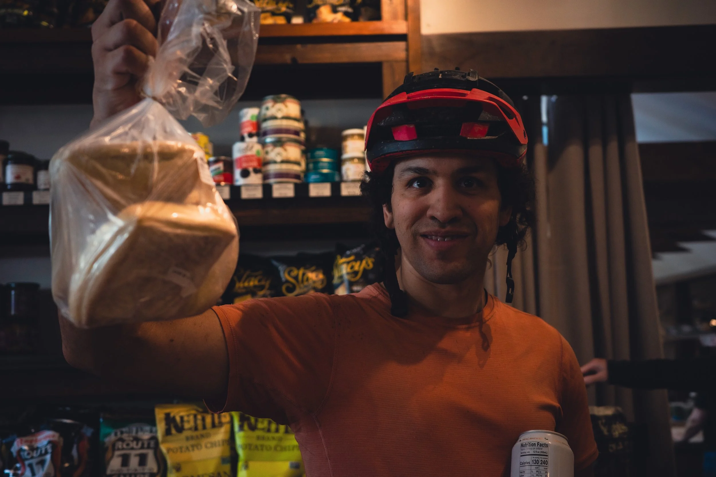
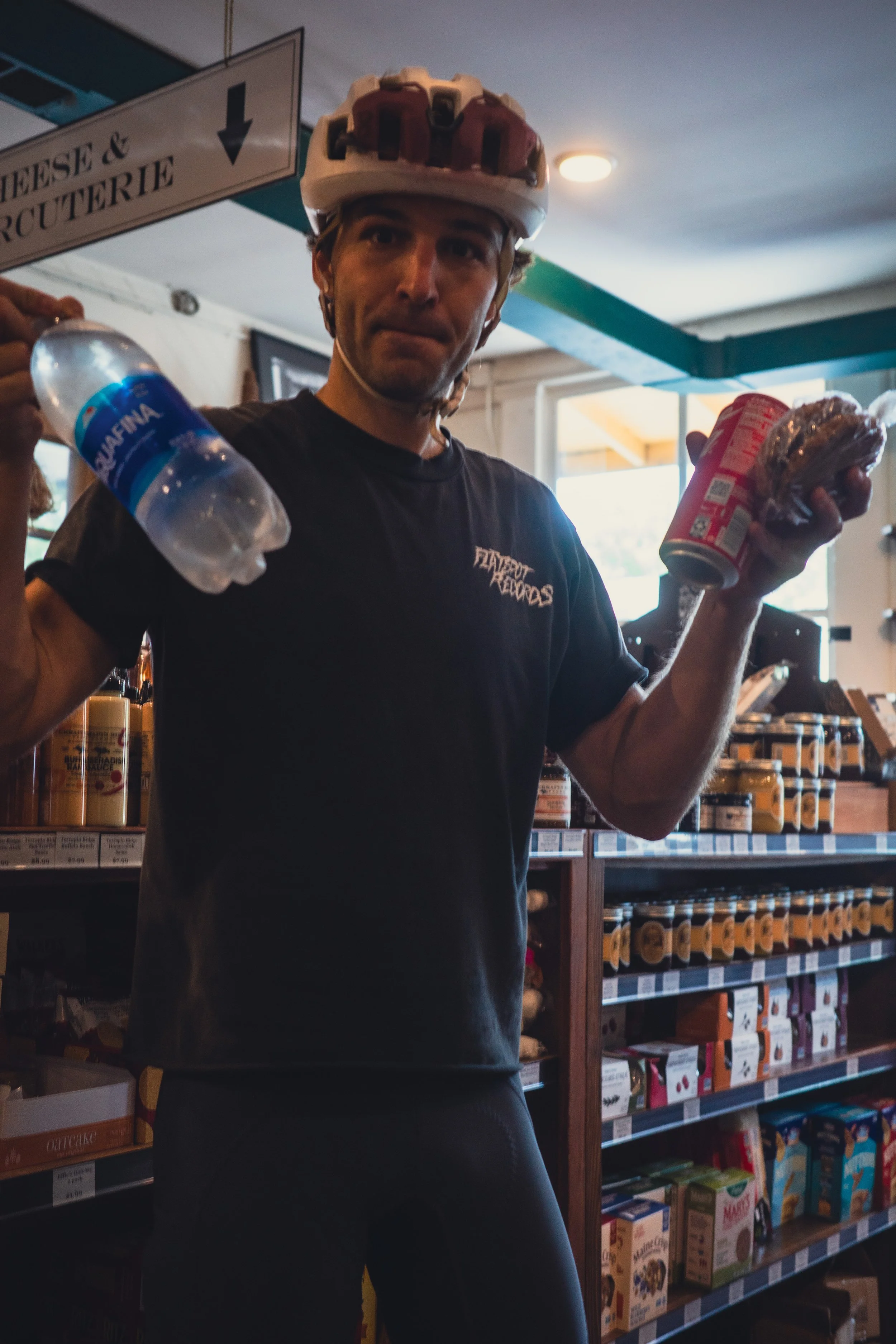
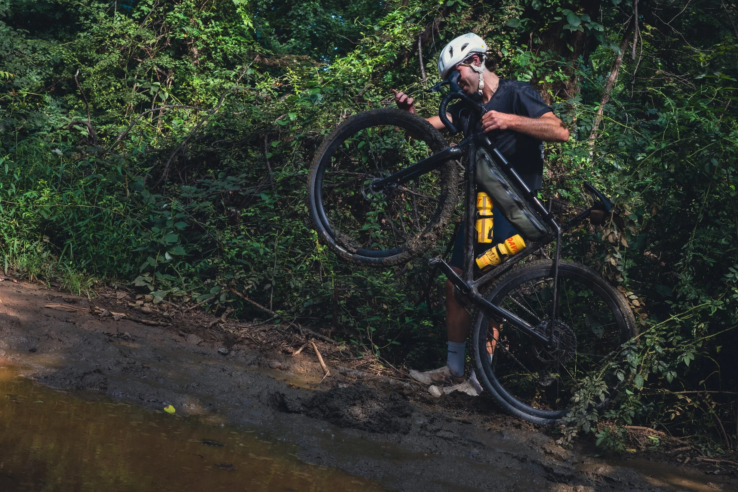
Plenty of provisions from Sperryville to Boston.
80mi
8,500ft climbing
https://ridewithgps.com/routes/46080823